Kamikochi
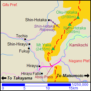
On the map of our
three weeks tour in
Japan,
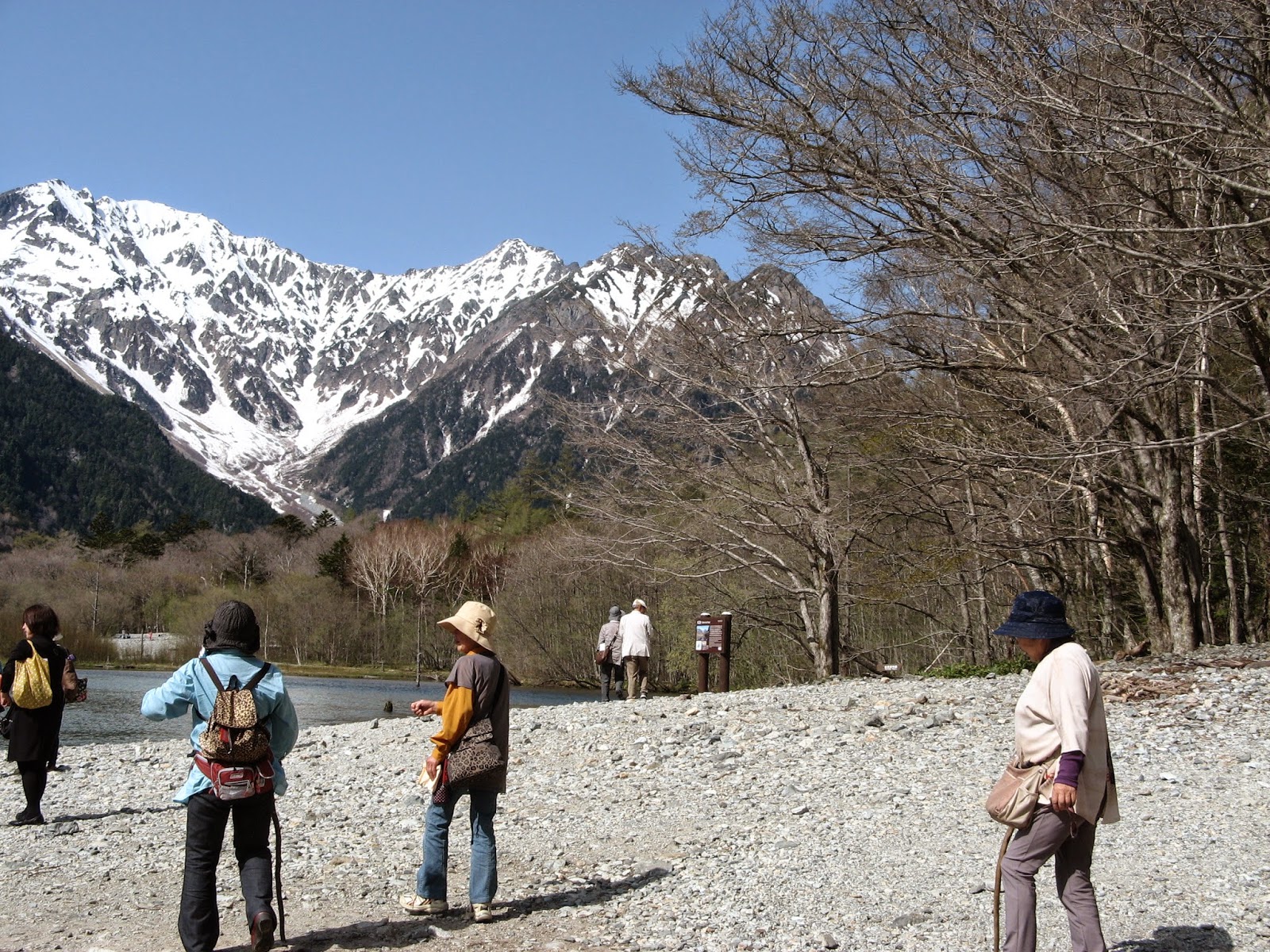
Kamikochi is a long plateau in the Azusa River Valley, about 1500 meters above sea level.
It is surrounded by tall mountains, names ending all with “kadake”, all here so you can intellectually handle the situation (kidding!): Nishihotakadake 2909m, Okuhotakadake 3190m, Maehotakadake 3090m and the active volcano Yakedake, 2455m!
It is actually a mount resort with few hotels and souvenir shops, huts and it is base for hiking the trails in the area. The
nature is great, the views - simply glorious and the access is only possible by bus or taxi and only from April to November, depends on the weather condition.
We traveled from Matsumoto to Shin-shimashima by train and from there to
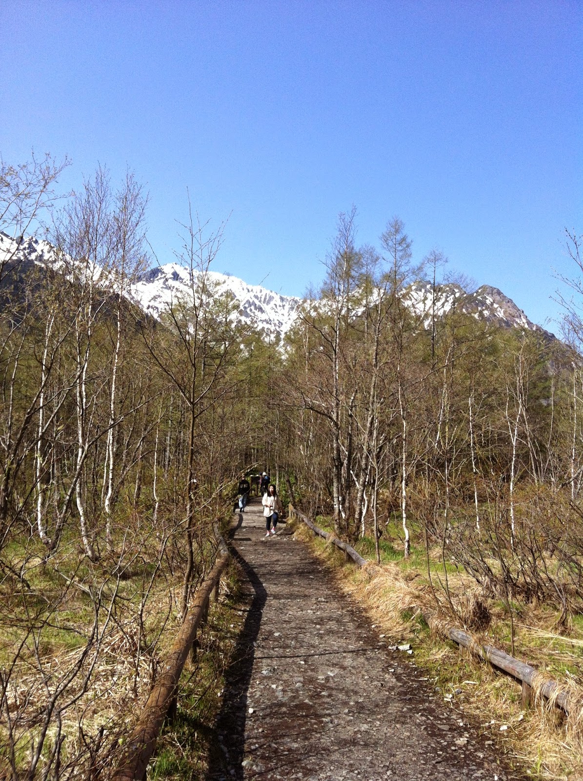
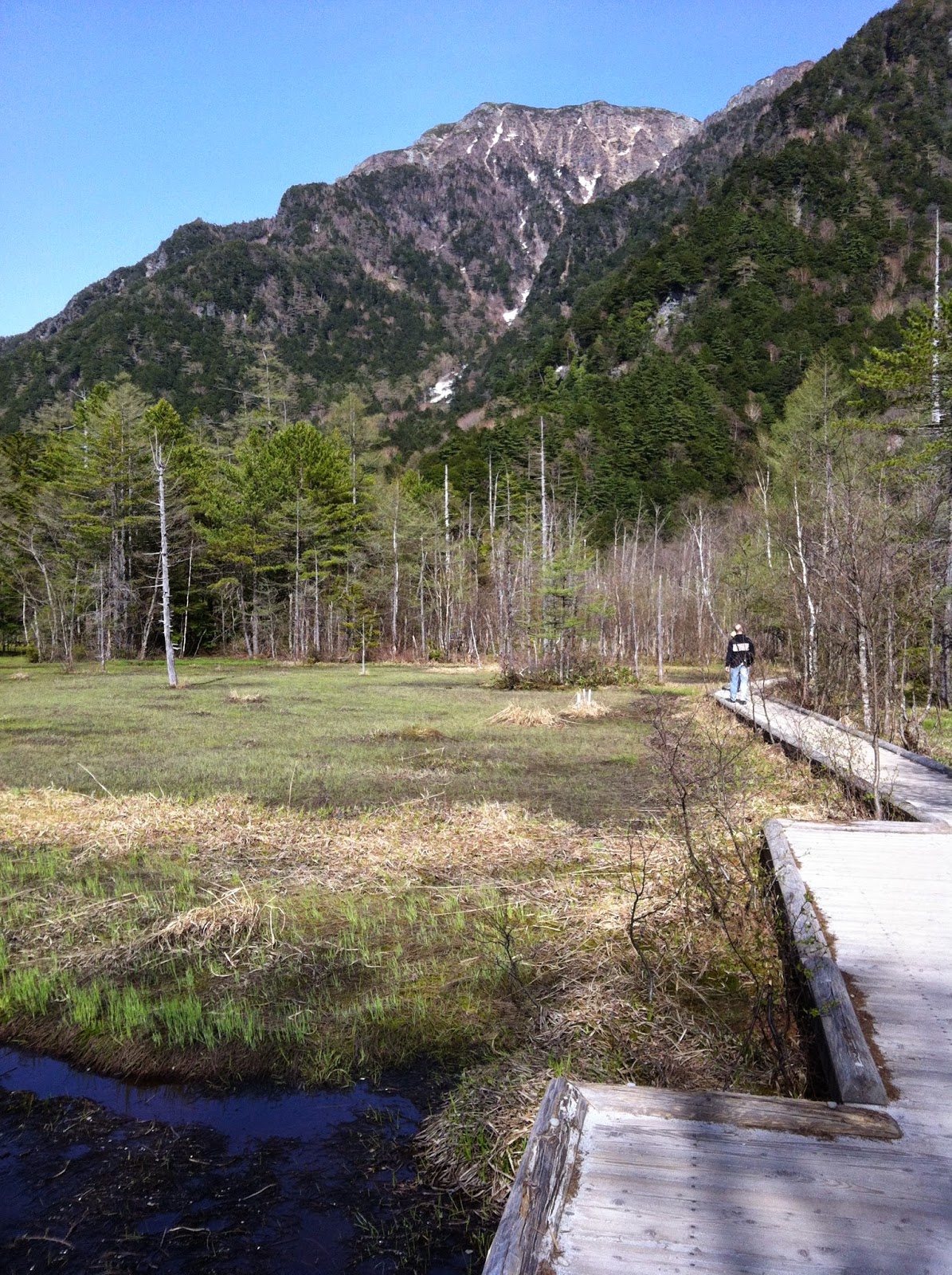
Kamikochi - by bus. We enjoyed one sunny day and one quiet night! in Kamikochi: we walked the trails along Azusa River from Taisho Pond to Myojin Bridge and again, we took lots a pictures. The terrain is flat and requires no hiking experience and only a few hours of time; we met monkeys, birds and of course lots of tourists like us.
At the end of the day we had a delicious diner at our inn located by Taisho pond, right at the entrance of Kamikochi. And of course we indulged ourself in the inn’s onsen bath.
Next morning, after another short walk and a good breakfast we were on the way to our next stop, the
Yarimikan at Shin Hotaka, on the other side of the mountains.
 |
| Add caption |
 |
| Add caption |


